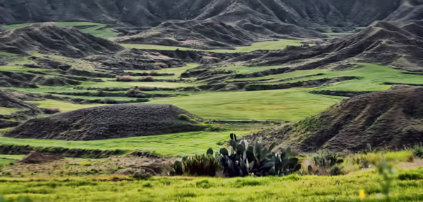
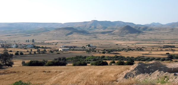
The Mesaoria/Mesarya Plain is bounded at the east and west by the Mediterranean Sea, at the south by the Troodos/Trodos Mountains and at the north by the Pentadaktylos/Beşparmak Mountains, while in the middle lies the capital Nicosia/Lefkoşa.

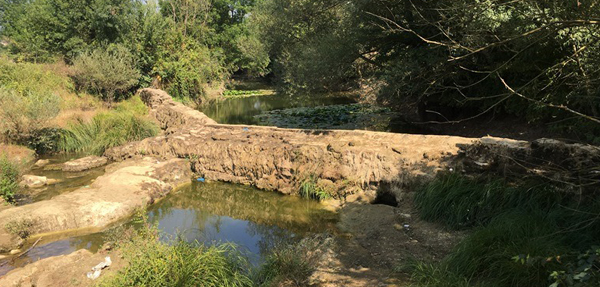
In the past, it was covered by dense forests. Most of these forests were cut down in the middle of the 1st century BC to provide wood for the Ptolemaic navy. Afterwards, this harvest continued in order to provide fuel during the extraction of copper. Yet, there were still significant stands of trees on the plain as recently as the late 16th century. Today, the only remaining forested areas are on the surrounding mountains. Due to this deforestation, it is now covered with "Kafkalla"; which is a local term referring to calcium carbonate that has been compacted into a hardpan.

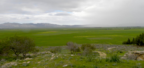
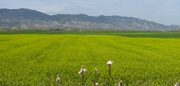
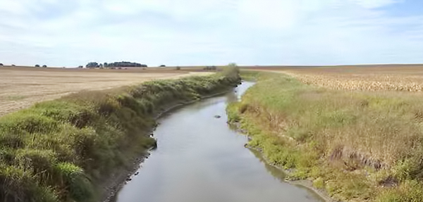
The plains are well known for their agricultural richness. Consequently, this area was given its well-deserved nickname as the “bread basket of Cyprus”.

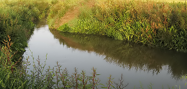
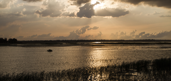
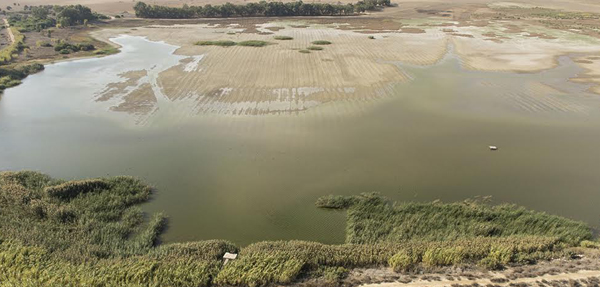
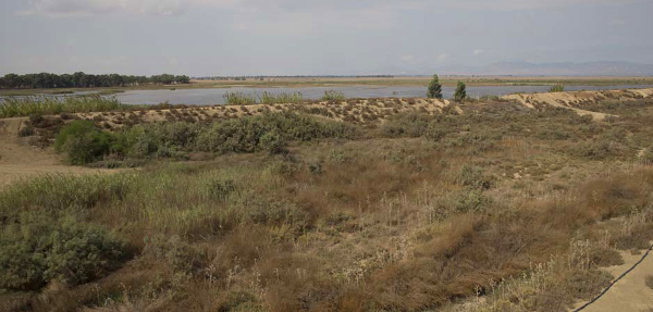
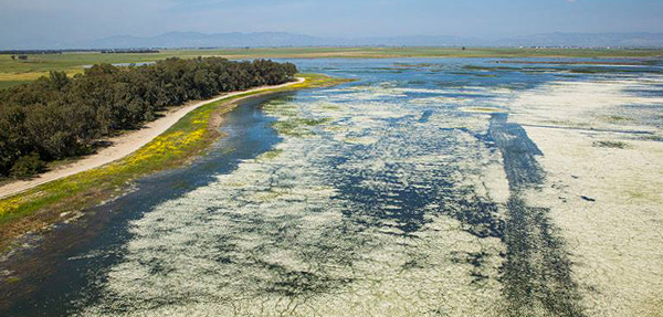
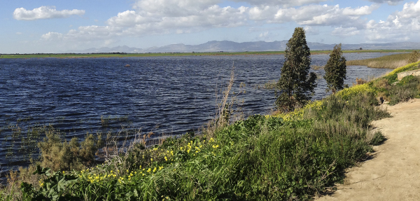
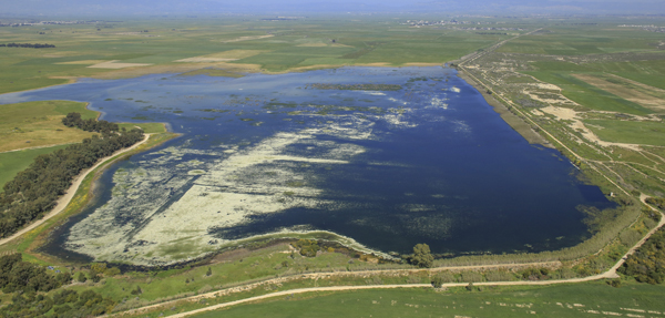
Kukla Wetlands; including Kuklia/Köprülü Reservoir and the surrounding inland salt marshes are part of the Eastern Mesaoria/Mesarya Plain. Although this reservoir is called Kuklia/Köprülü Reservoir in literature, locals refer to the area as Kukla which was its original name in ancient times so we adopted this name to promote it among locals.


Two main rivers feed the eastern part of the Mesaoria/Mesarya Plain; the two longest rivers of Cyprus: Pedieos/Kanlı River and Lalias/Çakıllı(Yalya) River. These rivers both originate from Troodos/Trodos Mountains.

The Pedieos/Kanlı River rises near Machaira and passes through the most populated city of Cyprus, the capital Nicosia/Lefkoşa. The Lalias/Çakıllı(Yalya) River rises very near to the source of the Pedieos/Kanlı, passes through Nisou, Dali and Pyroi, and traverses the Mesaoria/Mesarya in a direction more or less parallel with the Pedieos/Kanlı. They both drain into Famagusta/Mağusa Bay. While they are passing the plain they form different wetlands mostly inland salt marshes and/or reservoirs such as at Kukla Wetlands.

Unfortunately, these riverbeds are getting increasingly drier. During drought years, water accumulation towards the eastern Mesaoria/Mesarya is poor, exacerbated by accelerating human consumption. Consequently water may not flow as far as Kukla and Famagusta Bay every year.


Kukla Wetlands are composed of two main habitats :
(Kuklia/Köprülü) Reservoir and Salt Marsh

(Kuklia/Köprülü) Reservoir: There are two basic types of reservoirs in Cyprus. Ones that are built on ravines and riverbeds and ones that are built over large flood plains such as salt marshes. Kukla Reservoir is of the latter types. It is built on a flood plain/salt marsh. So it is an example of a flood plain reclaimed for human use. It was and still is dedicated to replenishment of underground water.

Built in 1900, the reservoir itself was as deep as 6m and could have originally held 4.545,000m3 of water; the biggest capacity of all reservoirs through Cyprus at the time.

However, after silting up over many years, its capacity is significantly reduced. Yet, a diversity of ducks and waders use the site in high numbers especially during wet years.

Salt (Halophytic/ Salt Tolerant) Marsh: An inland salt marsh is a saltwater marsh located away from the coast which is formed and maintained in areas when evapotranspiration exceeds precipitation. A vast extent of the Eastern Mesaoria/Mesarya Plain used to be rich with salt marshes. However, these marshes are destroyed and hugely fragmented due to human activities; mostly agriculture but also urbanization. Remnants of salt marsh can still be found on the eastern plains such as at Kukla Wetlands.

Unfortunately, nowadays, water availability for these sites is decreasing due to over consumption and uncontrolled human disturbance. In particular, ploughing to clear the marshes for agriculture, is having a major impact. The marshes and wetlands thus cannot hold water as they used to and are disappearing.